Locory page
The High Line
By Seeker
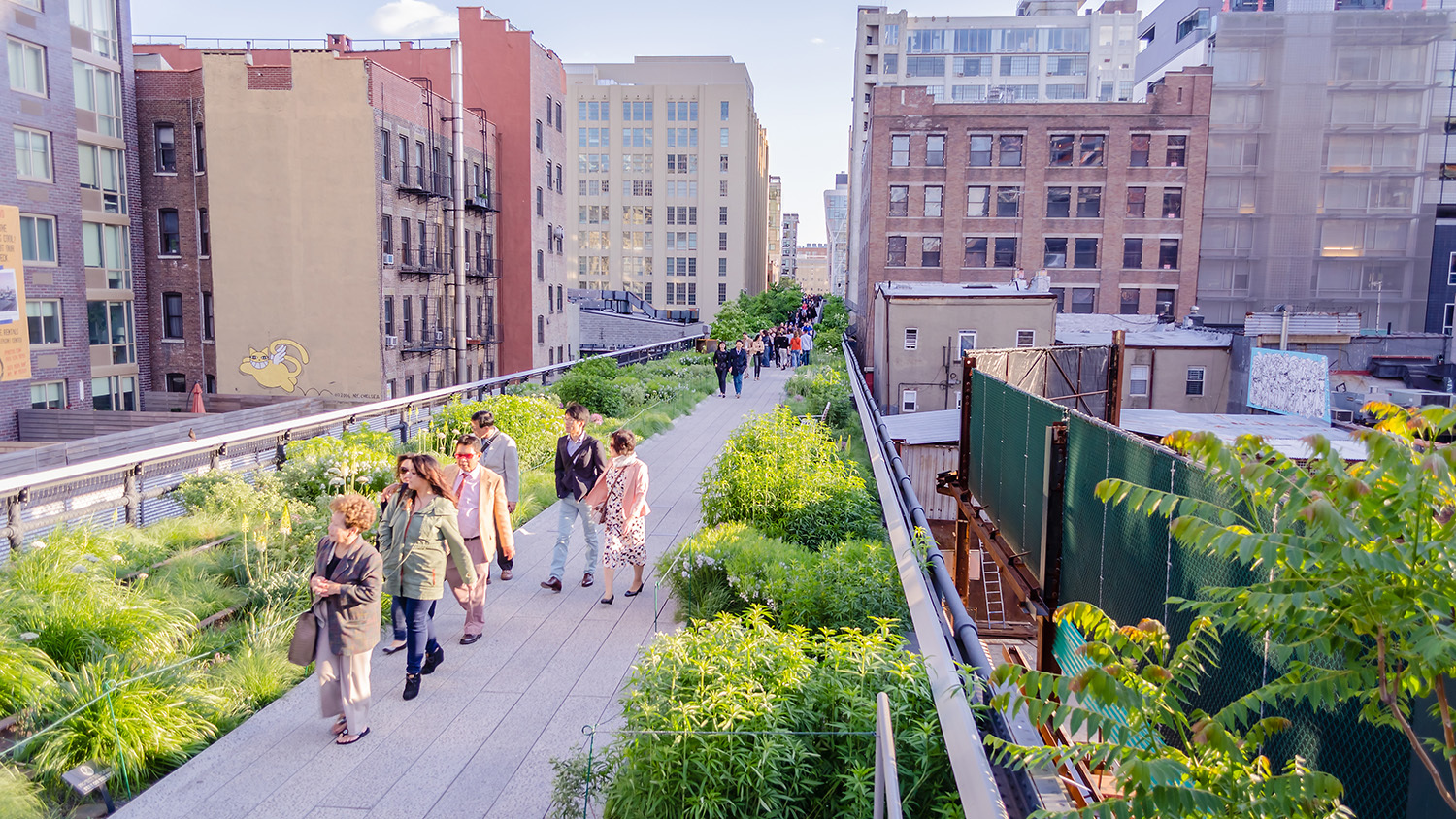

The High Line is a 1.45-mile elevated linear park on Manhattan's West Side built on a former freight rail line constructed in the 1930s as part of the West Side Improvement Project. Freight service declined in the mid-20th century and the line fell into disuse; community advocacy by Friends of the High Line beginning in 1999 led to its phased redevelopment as a public park. The first section opened to the public in 2009 and the park now features planted landscapes, public art, and pedestrian pathways along its route. The High Line is managed by the City of New York in partnership with the non-profit Friends of the High Line.
Tags
Location
Views
1
Be the first to comment!