Locory Every place has a story.
Login Sign Up
My Account
Open Map Create a Locory My Locories Featured Regions Leaderboard About What is a Locory? Collaboration Blog Feedback
Login Sign Up
My Account
  1. Home
  2. Jacksonville's inland deep-water port (JAXPORT)
Locory page

Jacksonville's inland deep-water port (JAXPORT)

By Seeker 6mo ago
See on map
Jacksonville's inland deep-water port (JAXPORT) photo 1
Jacksonville's inland deep-water port (JAXPORT) photo 2
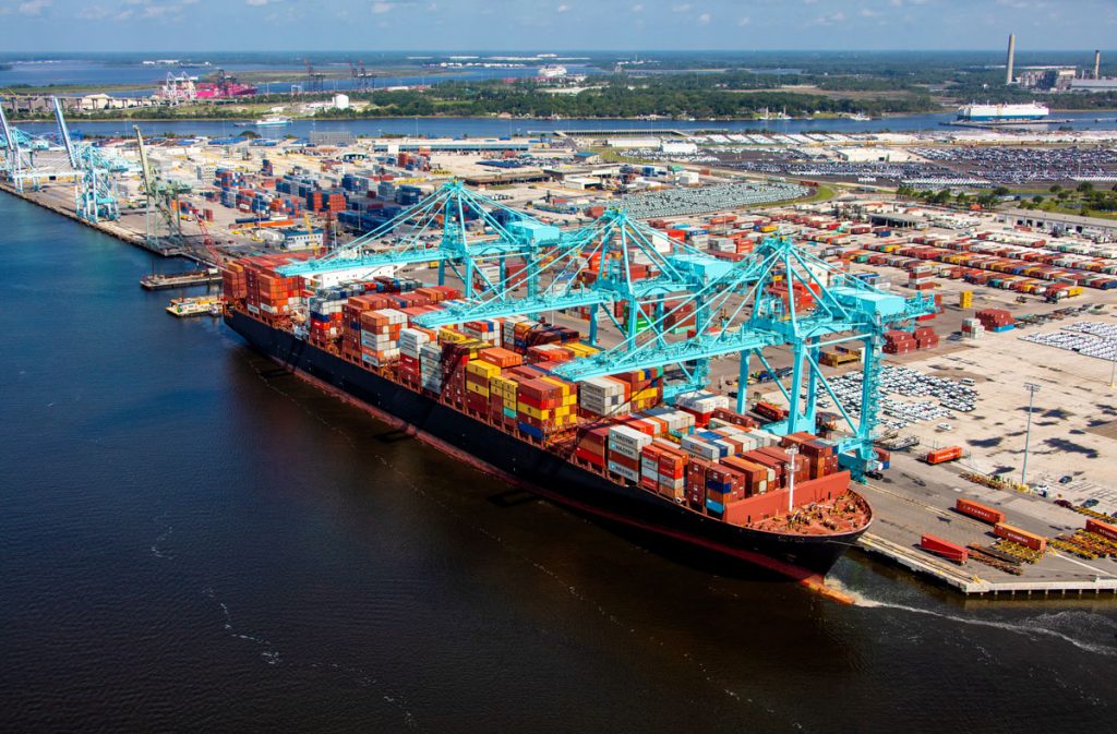
The Port of Jacksonville (JAXPORT) operates deep-water terminals on the St. Johns River with a federally maintained navigation channel that allows ocean-going, deep-draft vessels to reach berths well inland from the Atlantic Ocean. Facilities at Blount Island and Dames Point handle container, automobile, and bulk cargoes, making Jacksonville one of the few U.S. cities with major deep-water port operations accessible via an inland river. The presence of a maintained deep channel far upriver is a notable geographic and commercial anomaly for the Atlantic coast of Florida.
Tags
Government Maps & Surveying Organized Crime Dams
Location
30.353983, -81.625562
Views
0

Comments

0
Be the first to comment!
Share
S
Locory name
Location details
Link to share
Link copied to clipboard
Report Locory
Locory

Discover, share, and explore community-driven points of interest with Locory.

Follow Us

About Contact Documentation Collaboration Upcoming Privacy Policy Terms of Service Accessibility Mailing List Wiki