Locory page
Nelson–Pettis Farmsteads Historic District
By Seeker
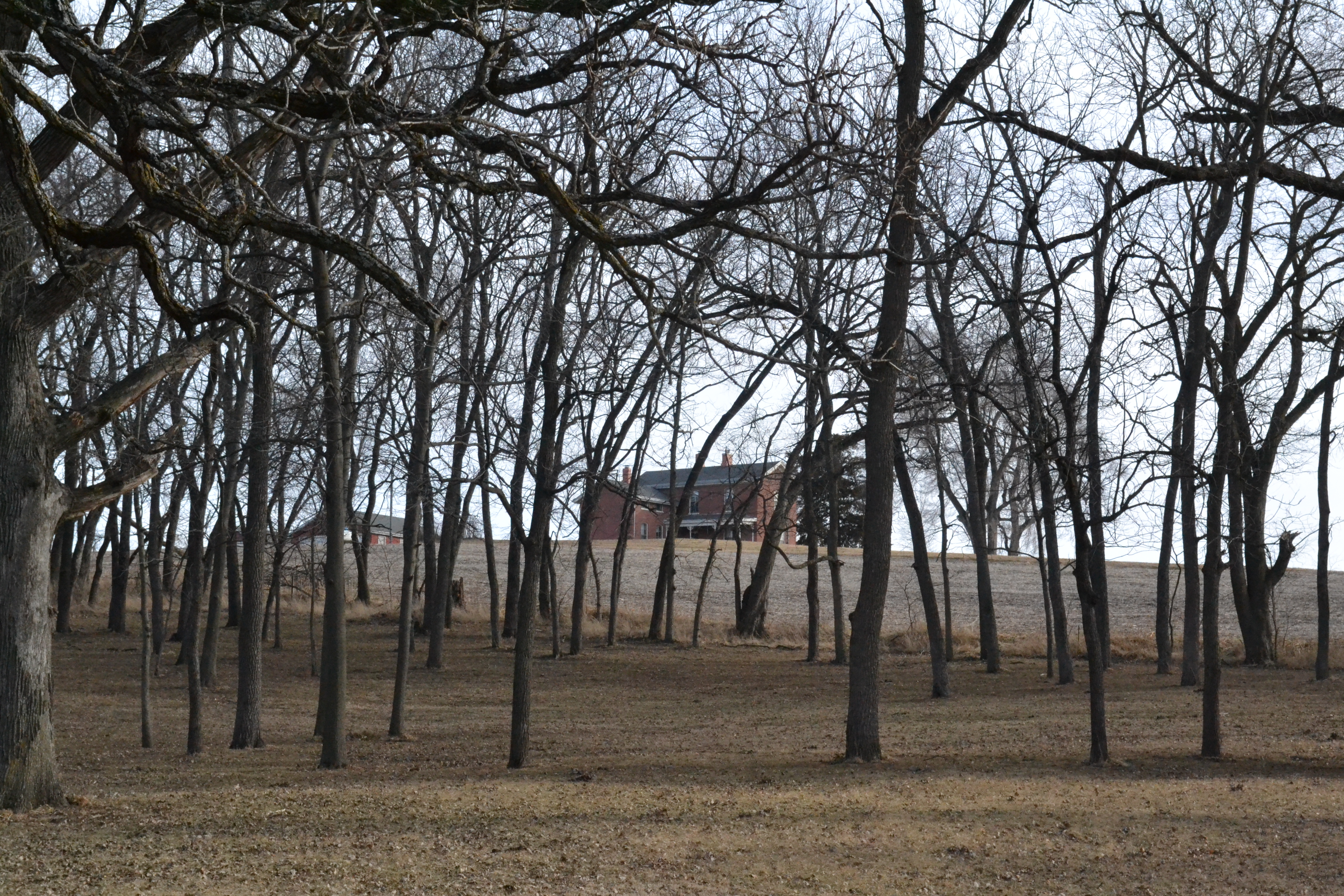
The Nelson–Pettis Farmsteads Historic District, also known as Poverty Hill, is a significant historic area in St. Joseph, Missouri, featuring a collection of four historic buildings and several sites. Key highlights include the Nelson I-house farmhouse from around 1871, a root cellar, and a family cemetery dating back to 1854, alongside the Pettis farmhouse built in 1915 and a barn from 1910. This district offers a glimpse into agricultural life from the mid-19th century to the early 20th century and was recognized for its historical importance by being listed on the National Register of Historic Places in 1995.
Tags
Location
Views
0
Be the first to comment!