Locory Every place has a story.
Login Sign Up
My Account
Open Map Create a Locory My Locories Featured Regions Leaderboard About What is a Locory? Collaboration Blog Feedback
Login Sign Up
My Account
  1. Home
  2. Republic Square (one of Waller's original public squares)
Locory page

Republic Square (one of Waller's original public squares)

By Seeker 6mo ago
See on map
Republic Square (one of Waller's original public squares) photo 1
Republic Square (one of Waller's original public squares) photo 2
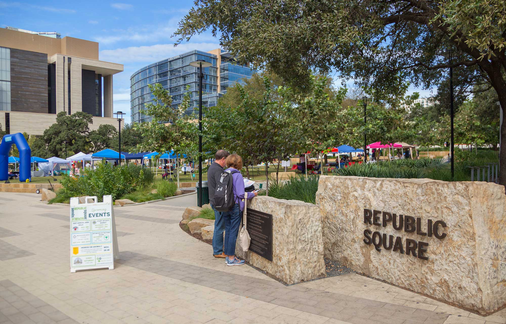
Republic Square was one of four public squares designated in Edwin Waller's 1839 plat of the City of Austin. The square functioned as the city's public market and a gathering place during the 19th century. Today the park preserves part of the original Waller Plan grid and is recognized as a surviving element of Austin's earliest survey layout.
Tags
Art / Graffiti Man Made Wonders (Architecture & Design) Maps & Surveying
Location
30.268142, -97.747523
Views
0

Comments

0
Be the first to comment!
Share
S
Locory name
Location details
Link to share
Link copied to clipboard
Report Locory
Locory

Discover, share, and explore community-driven points of interest with Locory.

Follow Us

About Contact Documentation Collaboration Upcoming Privacy Policy Terms of Service Accessibility Mailing List Wiki