Locory page
Miyake-Jima
By Seeker
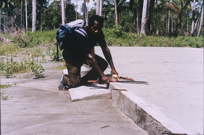
At least 2,183 people killed, thousands injured, about 9,500 homeless and about 500 missing as a result of a tsunami generated in the Sissano area. Maximum wave heights estimated at 15 meters. Several villages were completely destroyed and others extensively damaged. Maximum recorded wave heights from selected tide stations (peak-to-trough, in cm) were as follows: 40 on Miyake-jima; 30 at Tosa-Shimuzu, Shikoku; 26 at Muroto, Shikoku; 24 at Naze, Amami O-shima; 20 on Tanega-shima; 20 at Kushimoto, Honshu; 6 at Jackson Bay and 4.7 at Kaikoura, New Zealand; 5 on Yap. Felt along much of the northern Papua New Guinea coast.
Tags
Be the first to comment!