Locory Every place has a story.
Login Sign Up
My Account
Open Map Create a Locory My Locories Featured Regions Leaderboard About What is a Locory? Collaboration Blog Feedback
Login Sign Up
My Account
  1. Home
  2. Confluence Park - meeting point of two waterways and the city's founding site
Locory page

Confluence Park - meeting point of two waterways and the city's founding site

By Seeker 6mo ago
See on map
Confluence Park - meeting point of two waterways and the city's founding site photo 1
Confluence Park - meeting point of two waterways and the city's founding site photo 2
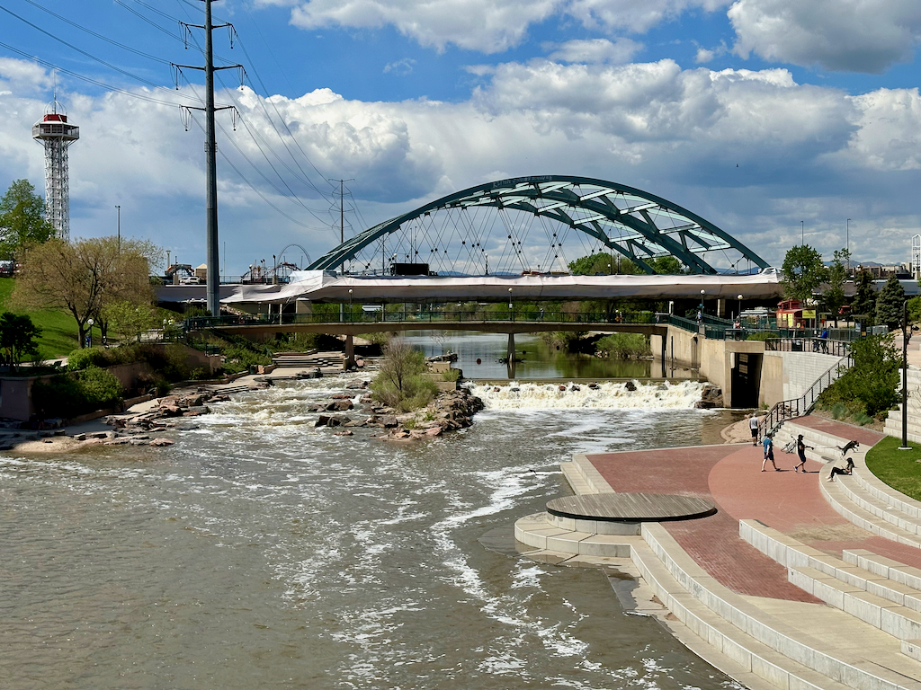
Confluence Park marks the point where Cherry Creek flows into the South Platte River in downtown Denver. The confluence was the location of the 1858 settlement (Auraria/Denver City) that became modern Denver, making it both a historical founding site and a natural geographic border point. The meeting of the two waterways shaped early settlement patterns and remains a distinct physical border within the city's central landscape. Confluence Park is publicly accessible at the confluence location in downtown Denver.
Tags
Historical Natural Wonders Maps & Surveying
Location
39.754765, -105.007220
Views
0

Comments

0
Be the first to comment!
Share
S
Locory name
Location details
Link to share
Link copied to clipboard
Report Locory
Locory

Discover, share, and explore community-driven points of interest with Locory.

Follow Us

About Contact Documentation Collaboration Upcoming Privacy Policy Terms of Service Accessibility Mailing List Wiki