Locory page
Solomon Islands
By Seeker
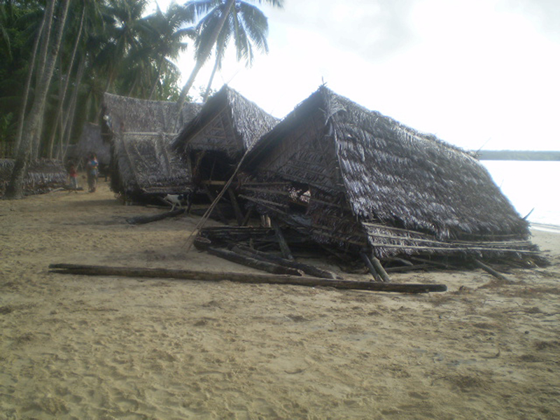
An earthquake measuring 8.1 struck 345 kilometers northwest of the Solomon Islands' capital Honiara at 0740 local time on 2 April. (2040 GMT 1 April). The earthquake created a tsunami causing significant damage in the Solomon Islands. Large tsunami waves (reports range from 2m to 10m) are reported to have struck the islands in the Western Province area of Solomon Islands and some parts of Papua New Guinea. Affected areas include Gizo, Simbo, Ranogga, Shortlands, Munda, Noro, Vella la Vella, Kolombangarra and parts of the southern coast of Choiseul. At least 34 were killed and several dozen missing. 5,500 people are thought to have been displaced in total. The Ministry of Health and Medical Services (MHMS) estimates that up to 50,000 people may be affected out of a total population of 100,000 in Western and Choiseul provinces.
Tags
Be the first to comment!