Locory Every place has a story.
Login Sign Up
My Account
Open Map Create a Locory My Locories Featured Regions Leaderboard About What is a Locory? Collaboration Blog Feedback
Login Sign Up
My Account
  1. Home
  2. Houston Ship Channel - deepwater seaport corridor inland
Locory page

Houston Ship Channel - deepwater seaport corridor inland

By Seeker 6mo ago
See on map
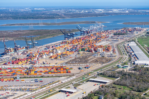
Houston Ship Channel - deepwater seaport corridor inland photo 1
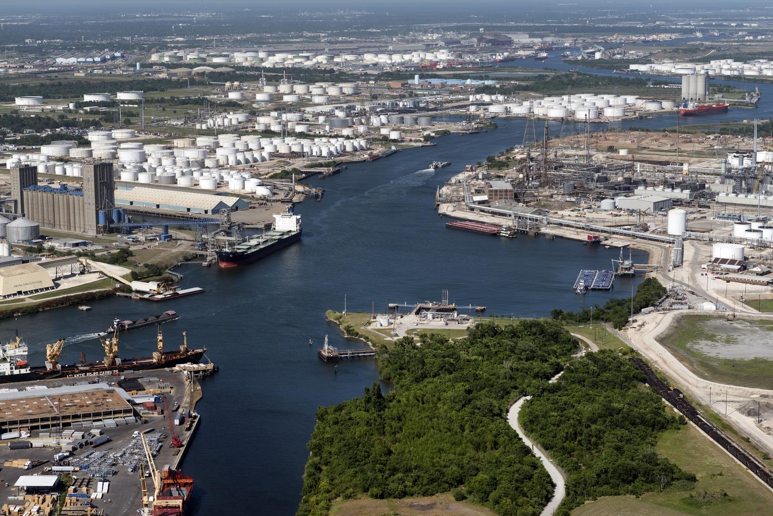
Houston Ship Channel - deepwater seaport corridor inland photo 2
The Port of Houston Authority operates the Houston Ship Channel, an inland waterway dredged and maintained to a depth of 45 feet to allow deep-draft ocean-going vessels to reach industrial terminals well inland from the Gulf of Mexico. The channel cuts through heavily urbanized and industrial areas of the Houston region, creating a rare configuration where a major deepwater seaport corridor passes adjacent to dense residential and commercial development. It is one of the busiest U.S. ports by foreign tonnage and is frequently cited as an unusual industrial-seaport geography.
Location
29.740771, -95.264807
Views
0

Comments

0
Be the first to comment!
Share
S
Locory name
Location details
Link to share
Link copied to clipboard
Report Locory
Locory

Discover, share, and explore community-driven points of interest with Locory.

Follow Us

About Contact Documentation Collaboration Upcoming Privacy Policy Terms of Service Accessibility Mailing List Wiki