Locory Every place has a story.
Login Sign Up
My Account
Open Map Create a Locory My Locories Featured Regions Leaderboard About What is a Locory? Collaboration Blog Feedback
Login Sign Up
My Account
  1. Home
  2. Confluence Park - local river launch and gathering spot
Locory page

Confluence Park - local river launch and gathering spot

By Seeker 6mo ago
See on map
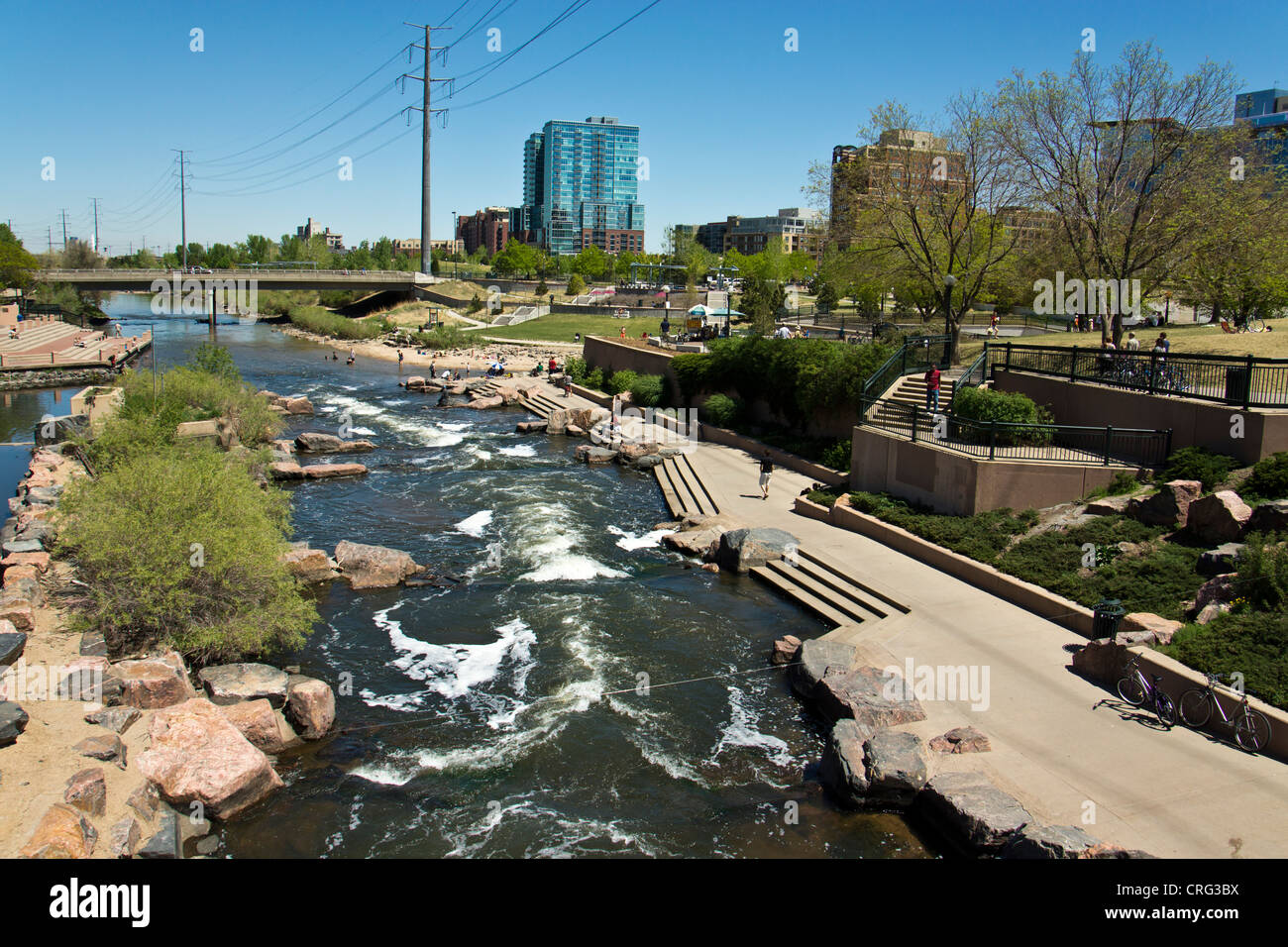
Confluence Park - local river launch and gathering spot photo 1
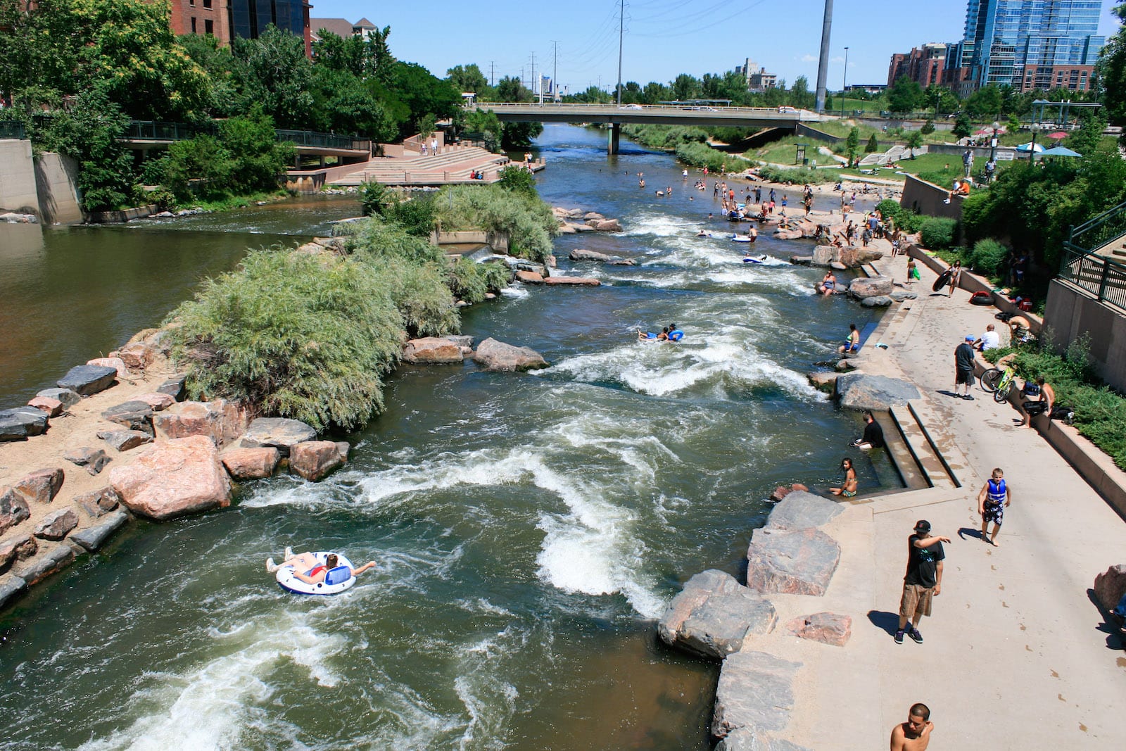
Confluence Park - local river launch and gathering spot photo 2
Confluence Park marks the junction where Cherry Creek joins the South Platte River and serves as a popular local gathering place and common launch point for kayaks, paddleboards, and inner tubes during warm months. The park sits alongside the South Platte River Trail and is regularly used by residents for walking, biking, and river access rather than being a major tourist-only site. Its riverside location and access to trails make it a favored outdoor spot for Denver locals.
Tags
Local Community Battles
Location
39.754757, -105.007227
Views
0

Comments

0
Be the first to comment!
Share
S
Locory name
Location details
Link to share
Link copied to clipboard
Report Locory
Locory

Discover, share, and explore community-driven points of interest with Locory.

Follow Us

About Contact Documentation Collaboration Upcoming Privacy Policy Terms of Service Accessibility Mailing List Wiki