Locory Every place has a story.
Login Sign Up
My Account
Open Map Create a Locory My Locories Featured Regions Leaderboard About What is a Locory? Collaboration Blog Feedback
Login Sign Up
My Account
  1. Home
  2. Belle Isle Park - Prohibition-era rumrunning landing area
Locory page

Belle Isle Park - Prohibition-era rumrunning landing area

By Seeker 6mo ago
See on map
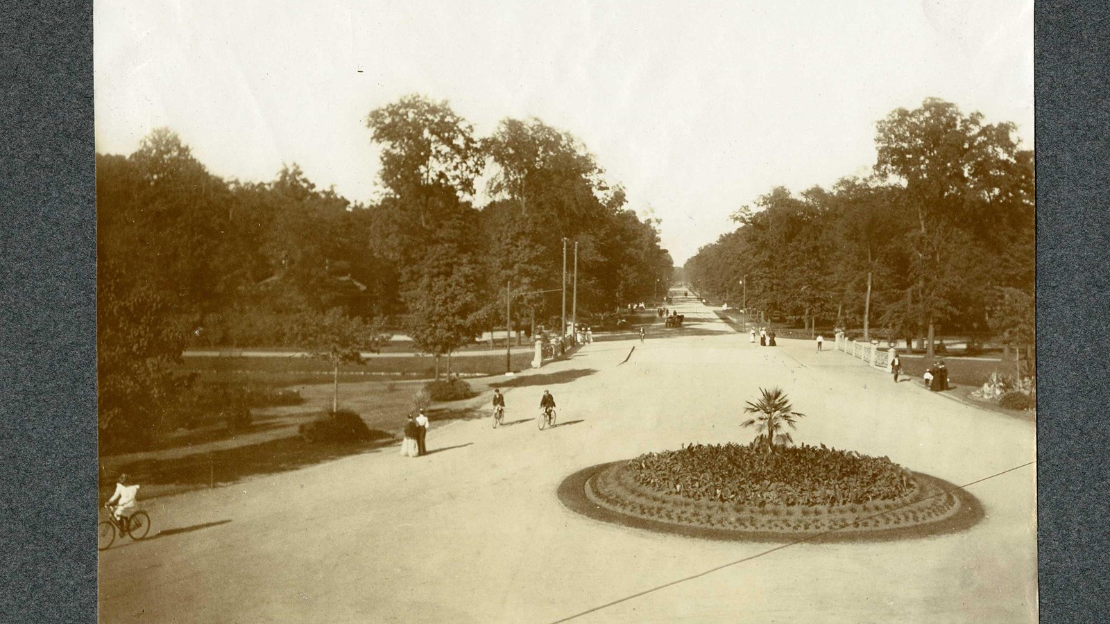
Belle Isle Park - Prohibition-era rumrunning landing area photo 1
Belle Isle Park - Prohibition-era rumrunning landing area photo 2
During Prohibition (1920–1933), bootleggers and rumrunners used points along the Detroit River and Belle Isle as landing sites for smuggled liquor from Canada; contemporary newspaper reports and law-enforcement accounts document smuggling activity in the Belle Isle area. The island's river access and proximity to Windsor made it part of the broader Detroit–Windsor smuggling network. Historians cite Belle Isle among multiple Detroit riverfront locations associated with cross-river illicit trade in that era.
Tags
Art / Graffiti
Location
42.337664, -82.999459
Views
1

Comments

0
Be the first to comment!
Share
S
Locory name
Location details
Link to share
Link copied to clipboard
Report Locory
Locory

Discover, share, and explore community-driven points of interest with Locory.

Follow Us

About Contact Documentation Collaboration Upcoming Privacy Policy Terms of Service Accessibility Mailing List Wiki