Locory Every place has a story.
Login Sign Up
My Account
Open Map Create a Locory My Locories Featured Regions Leaderboard About What is a Locory? Collaboration Blog Feedback
Login Sign Up
My Account
  1. Home
  2. Twin Peaks and the local 'fog shadow' microclimate
Locory page

Twin Peaks and the local 'fog shadow' microclimate

By Seeker 6mo ago
See on map
Twin Peaks and the local 'fog shadow' microclimate photo 1
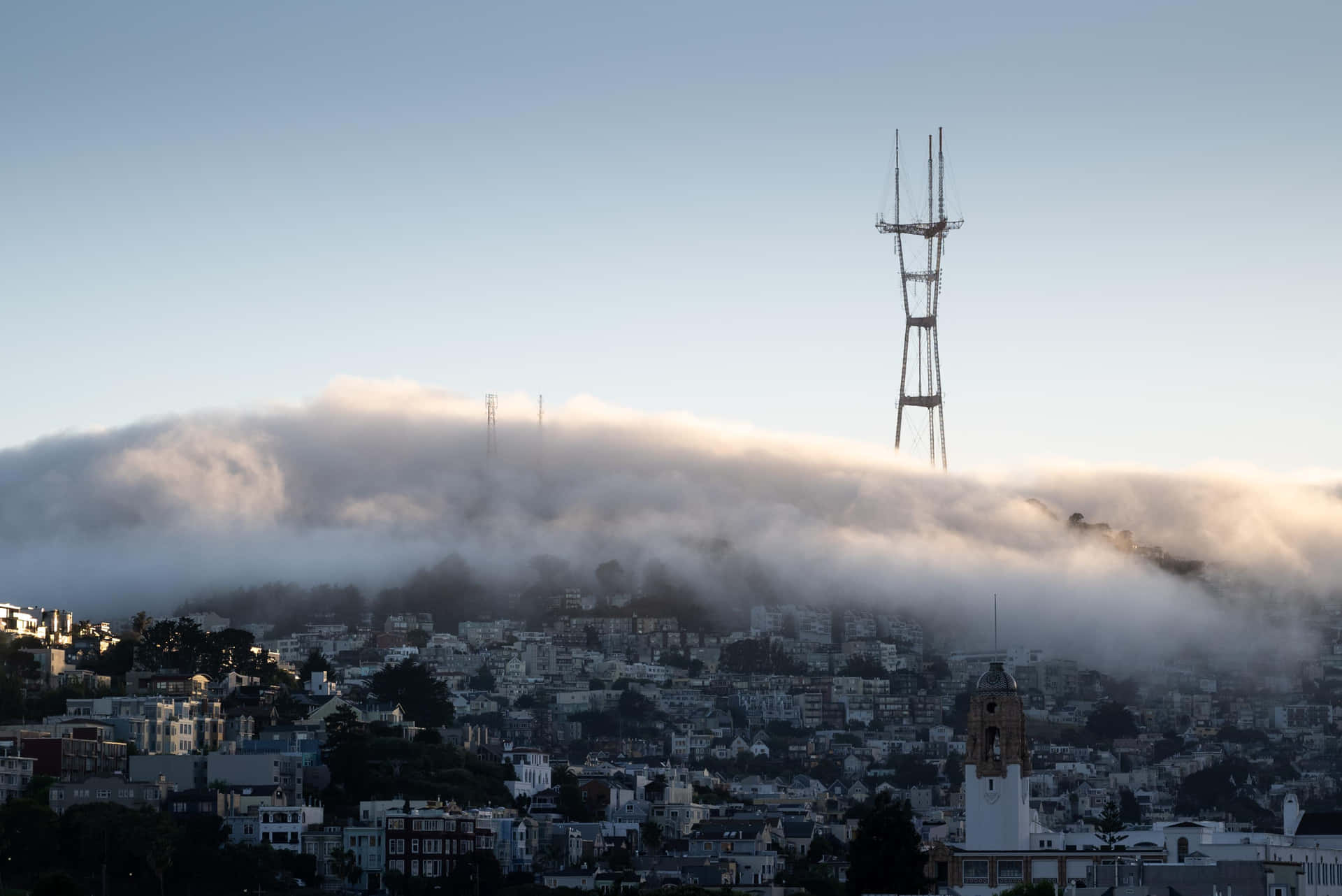
Twin Peaks and the local 'fog shadow' microclimate photo 2
Twin Peaks rises to about 922 feet (281 meters) and is one of the highest viewpoints within San Francisco, producing pronounced local microclimates. The ridge funnels and blocks marine fog and wind, creating a measurable "fog shadow" and sun/fog contrasts between western-facing neighborhoods and the eastern slopes/central city on many days. Meteorological studies and local weather observations document these persistent microclimatic differences tied to the topography of Twin Peaks.
Tags
Local Community Hidden Viewpoints
Location
37.756484, -122.446782
Views
1

Comments

0
Be the first to comment!
Share
S
Locory name
Location details
Link to share
Link copied to clipboard
Report Locory
Locory

Discover, share, and explore community-driven points of interest with Locory.

Follow Us

About Contact Documentation Collaboration Upcoming Privacy Policy Terms of Service Accessibility Mailing List Wiki