Locory page
Mount Evelyn Aqueduct
By Seeker
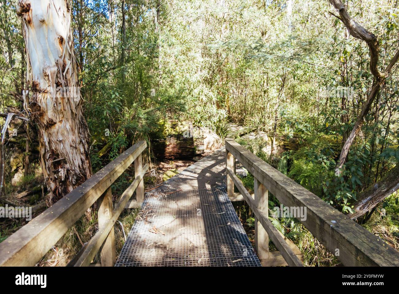
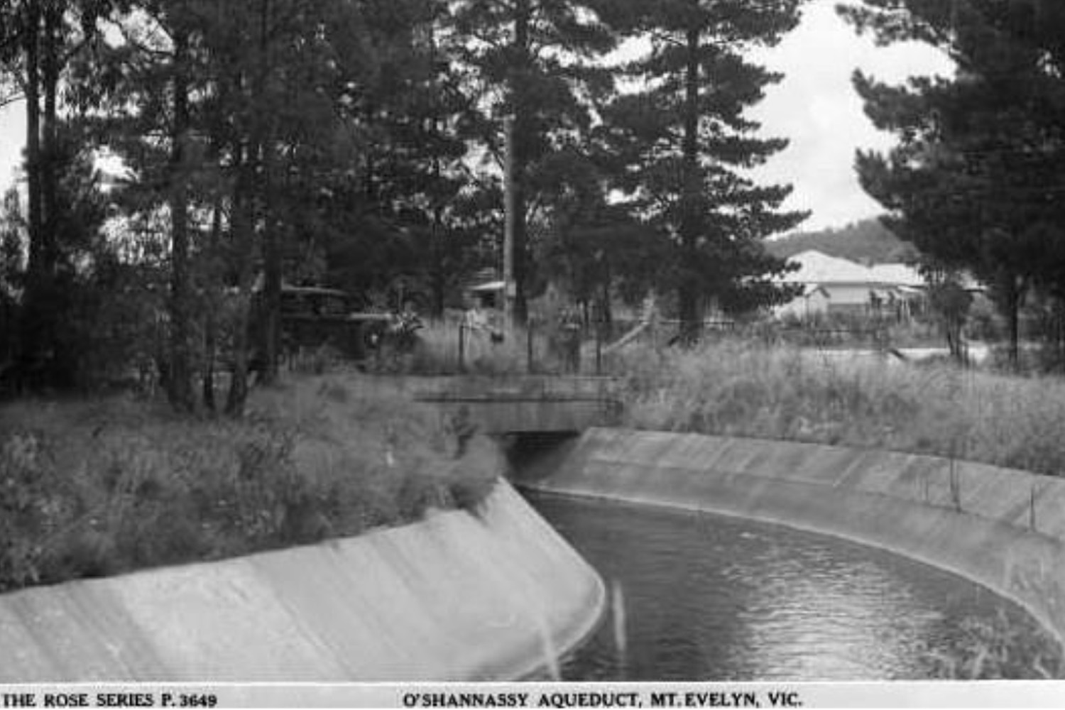
The Mount Evelyn Aqueduct, a significant part of Melbourne's water supply system, was constructed in the early 20th century and originally featured a combination of steel piping and open concrete channels. It traversed the picturesque township of Mount Evelyn, providing water to local residents and feeding into the Olinda Reservoir. Notably, the aqueduct allowed residents to siphon water for personal use, showcasing a unique interaction between infrastructure and community. Following a severe drought in 1917, the Silvan Dam was developed to enhance water storage, leading to further expansions and improvements in the aqueduct system. By the late 1960s, health concerns prompted the replacement of open channels with enclosed pipes, modernizing the water supply while maintaining its historical significance. Today, the aqueduct's remnants and the surrounding landscapes offer a glimpse into Melbourne's water management history, making it an intriguing site for both tourists and researchers.
Tags
Location
Views
0
Be the first to comment!