Locory page
Washington Monument as a 19th‑century triangulation station
By Seeker
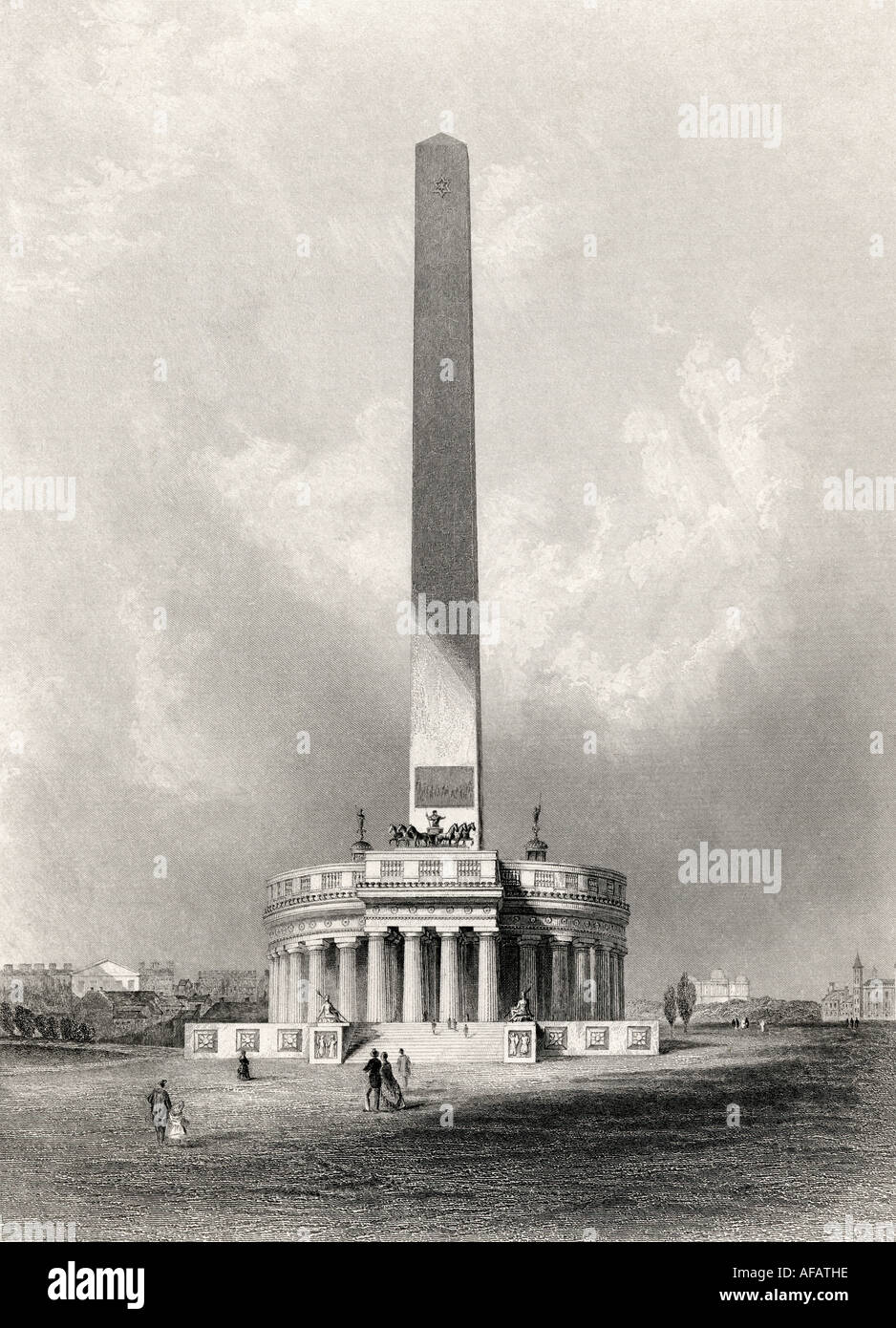

The Washington Monument was used as a primary triangulation station by the U.S. Coast and Geodetic Survey during 19th‑century geodetic surveys; its visible apex served as a reference point in regional triangulation networks. Survey publications and control sheets from that era reference the monument as a control point for triangulation and leveling. The monument functioned as a key terrestrial geodetic reference prior to the advent of modern satellite positioning.
Tags
Location
Views
1
Be the first to comment!