Locory Every place has a story.
Login Sign Up
My Account
Open Map Create a Locory My Locories Featured Regions Leaderboard About What is a Locory? Collaboration Blog Feedback
Login Sign Up
My Account
  1. Home
  2. Filling of the Back Bay tidal flats
Locory page

Filling of the Back Bay tidal flats

By Seeker 6mo ago
See on map
Filling of the Back Bay tidal flats photo 1
Filling of the Back Bay tidal flats photo 2
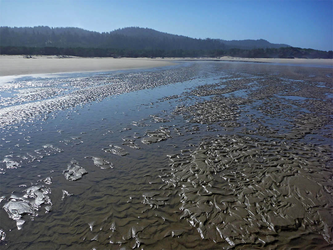
The Back Bay tidal flats were filled between roughly 1857 and 1882 to create the Back Bay neighborhood, converting mudflats into a planned Victorian-era residential and commercial district. The fill used earth and gravel brought in by rail from surrounding areas and produced streets such as Commonwealth Avenue and Boylston Street on land that had not previously existed. Major institutions now on former landfill include the Boston Public Library and many Back Bay landmarks.
Tags
Art / Graffiti Local Community Historic Landmarks
Location
42.349333, -71.078654
Views
1

Comments

0
Be the first to comment!
Share
S
Locory name
Location details
Link to share
Link copied to clipboard
Report Locory
Locory

Discover, share, and explore community-driven points of interest with Locory.

Follow Us

About Contact Documentation Collaboration Upcoming Privacy Policy Terms of Service Accessibility Mailing List Wiki