Locory Every place has a story.
Login Sign Up
My Account
Open Map Create a Locory My Locories Featured Regions Leaderboard About What is a Locory? Collaboration Blog Feedback
Login Sign Up
My Account
  1. Home
  2. Embarcadero waterfront archaeological monitoring (Ferry Building area)
Locory page

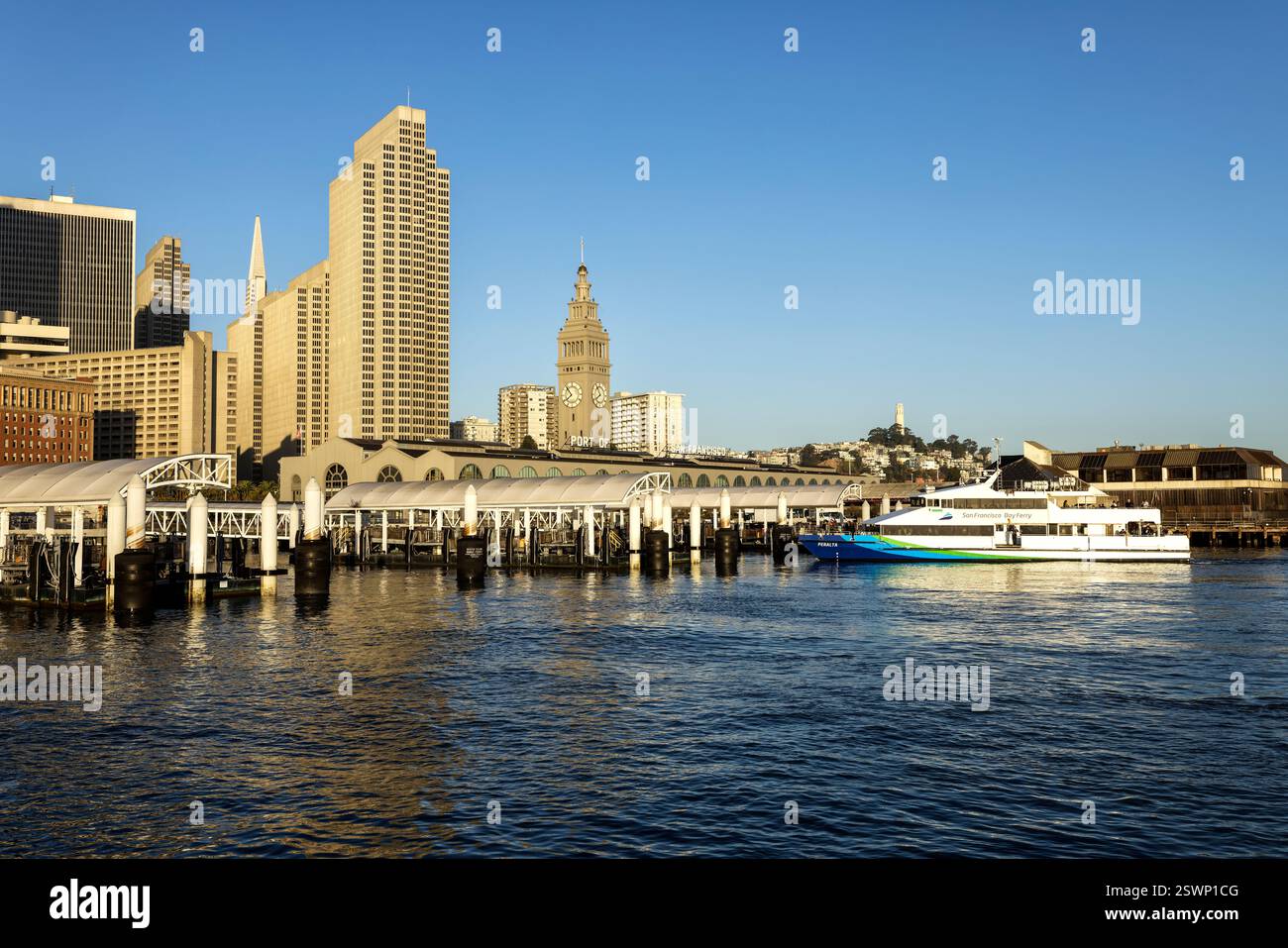
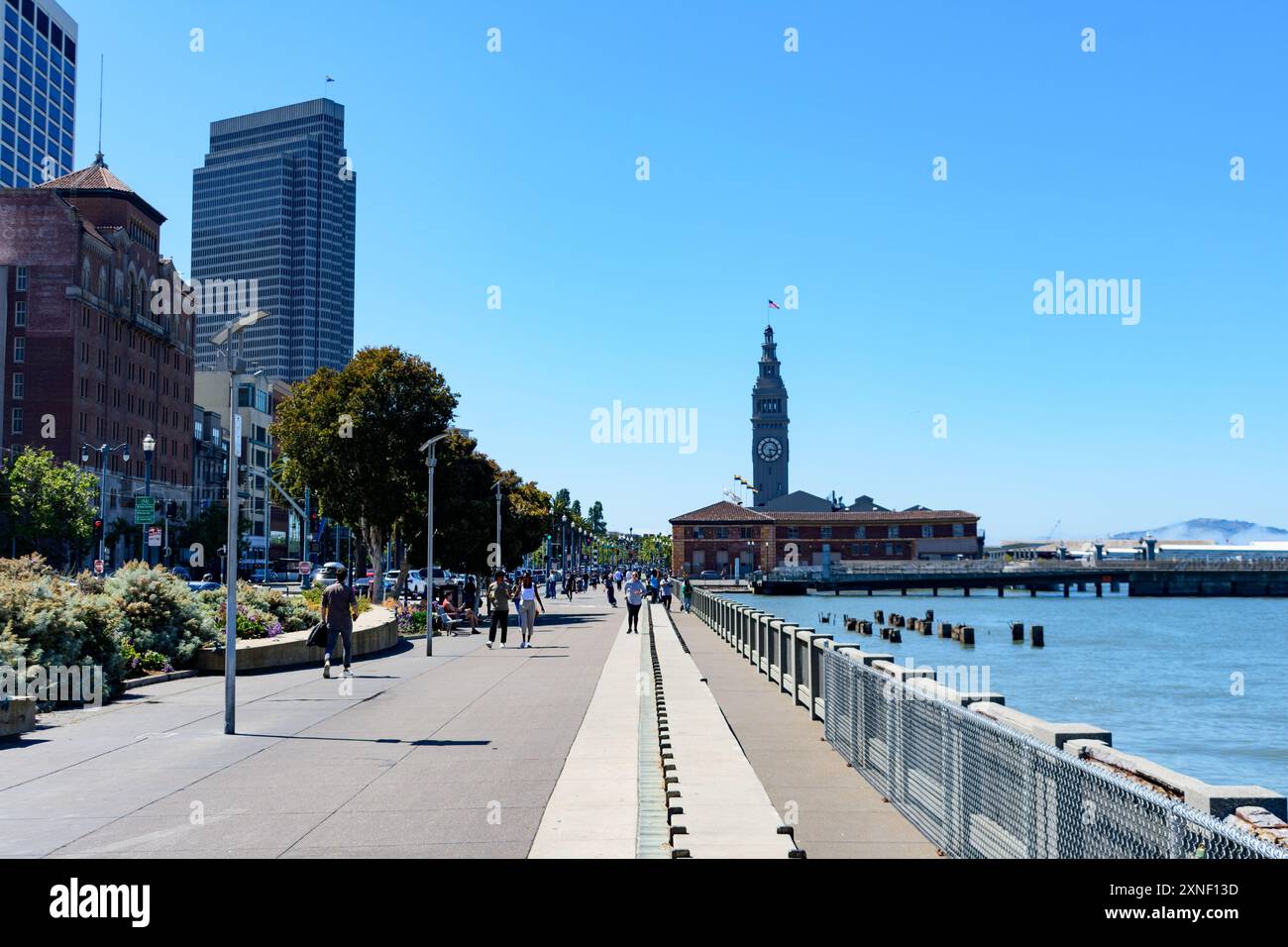
Embarcadero waterfront archaeological monitoring (Ferry Building area)

By Seeker 6mo ago
See on map
Embarcadero waterfront archaeological monitoring (Ferry Building area) photo 1
Embarcadero waterfront archaeological monitoring (Ferry Building area) photo 2
Archaeological monitoring during seawall, pier, and Ferry Building projects along the Embarcadero has documented buried 19th‑century wharf timbers, bulkheads, and maritime artifacts associated with Gold Rush and later waterfront activity. Findings were recorded during projects such as the Embarcadero Seawall Program and Ferry Building renovations and reported in city and federal cultural‑resource documents. These investigations contribute to the documented maritime archaeological record of San Francisco's waterfront.
Tags
Art / Graffiti Government Buried Underground Local Culture
Location
37.795545, -122.393479
Views
1

Comments

0
Be the first to comment!
Share
S
Locory name
Location details
Link to share
Link copied to clipboard
Report Locory
Locory

Discover, share, and explore community-driven points of interest with Locory.

Follow Us

About Contact Documentation Collaboration Upcoming Privacy Policy Terms of Service Accessibility Mailing List Wiki