Locory Every place has a story.
Login Sign Up
My Account
Open Map Create a Locory My Locories Featured Regions Leaderboard About What is a Locory? Collaboration Blog Feedback
Login Sign Up
My Account
  1. Home
  2. Montlake Cut (artificial canal linking Lake Washington and Lake Union)
Locory page

Montlake Cut (artificial canal linking Lake Washington and Lake Union)

By Seeker 6mo ago
See on map
Montlake Cut (artificial canal linking Lake Washington and Lake Union) photo 1
Montlake Cut (artificial canal linking Lake Washington and Lake Union) photo 2
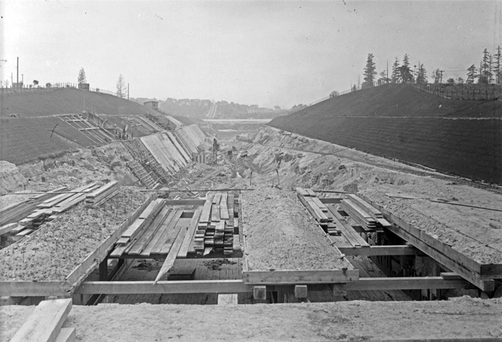
The Montlake Cut is the man-made channel excavated in the 1910s that links Lake Washington to Lake Union and is a central segment of the Lake Washington Ship Canal, a major engineered alteration of Seattle's natural waterways. The cut created Portage Bay and permanently changed local hydrology and navigation by allowing vessels to pass between the lakes and Puget Sound via the canal and locks. The Montlake Bridge spans the cut where the channel separates the University District from Montlake.
Tags
Art / Graffiti Natural Wonders Local Community Bridges Dams
Location
47.660748, -122.299422
Views
1

Comments

0
Be the first to comment!
Share
S
Locory name
Location details
Link to share
Link copied to clipboard
Report Locory
Locory

Discover, share, and explore community-driven points of interest with Locory.

Follow Us

About Contact Documentation Collaboration Upcoming Privacy Policy Terms of Service Accessibility Mailing List Wiki