Locory Every place has a story.
Login Sign Up
My Account
Open Map Create a Locory My Locories Featured Regions Leaderboard About What is a Locory? Collaboration Blog Feedback
Login Sign Up
My Account
  1. Home
  2. Government Center station and the former Scollay Square station footprint
Locory page

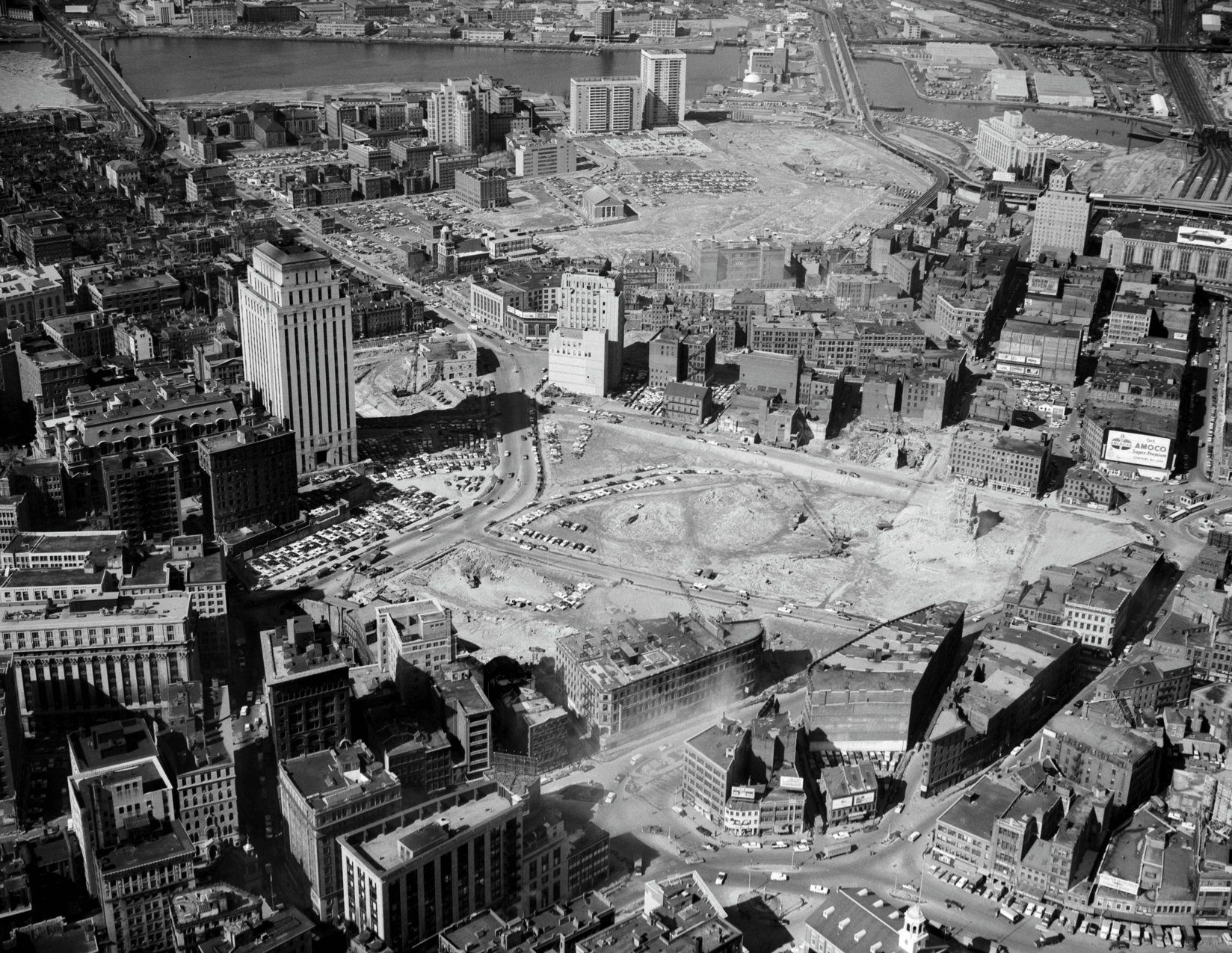
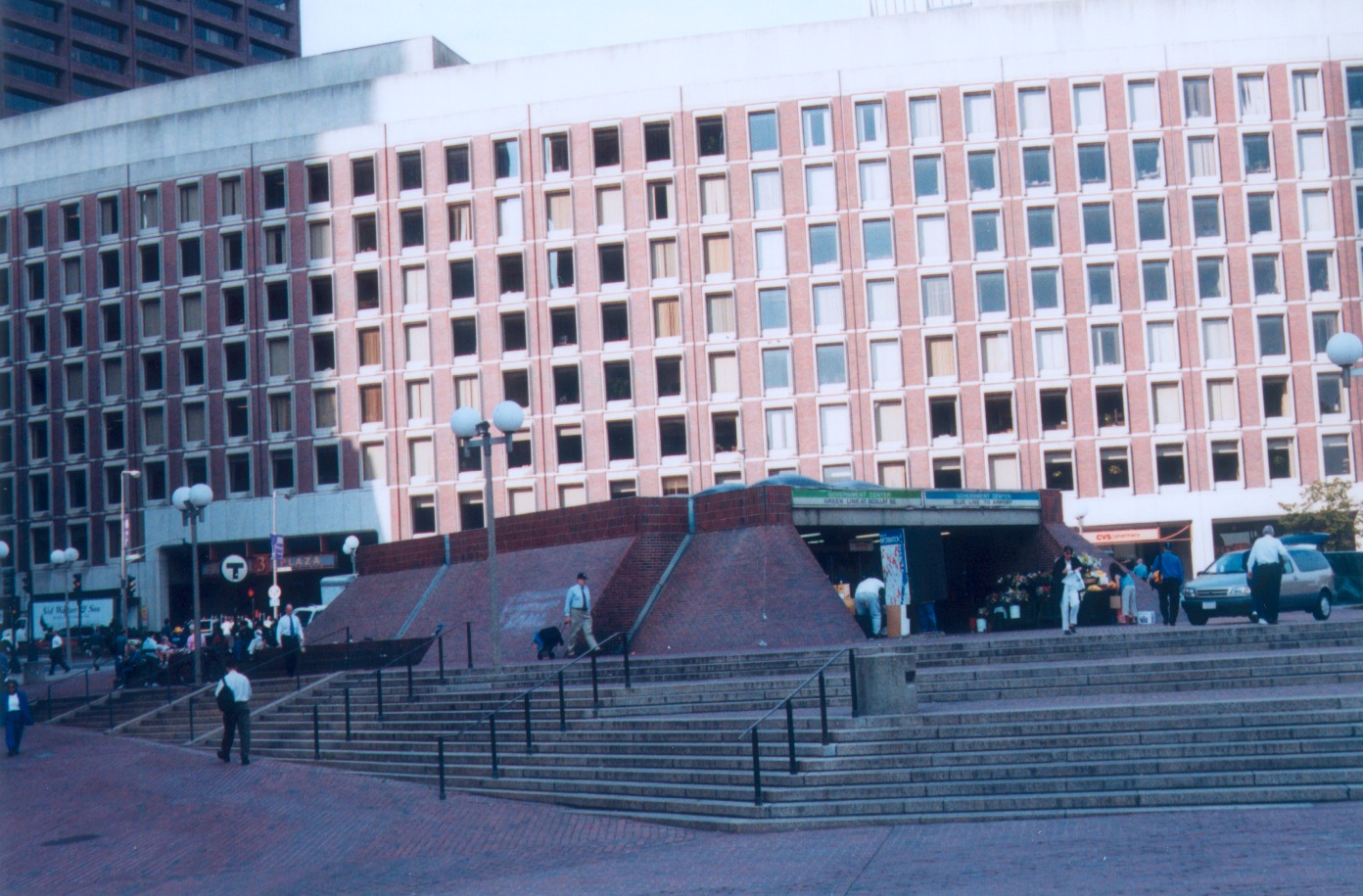
Government Center station and the former Scollay Square station footprint

By Seeker 6mo ago
See on map
Government Center station and the former Scollay Square station footprint photo 1
Government Center station and the former Scollay Square station footprint photo 2
Government Center station was constructed as part of the 1960s redevelopment that removed Scollay Square; the former Scollay Square subway platforms and underground passageways lie beneath present‑day City Hall Plaza and the Government Center complex. The station and the redevelopment project significantly reconfigured downtown pedestrian and transit connections by relocating and rebuilding underground platforms and concourses. The change is a documented example of mid‑20th century urban renewal that reshaped Boston's subterranean transit infrastructure.
Tags
Art / Graffiti Government Buried Underground Man Made Wonders Underground Spots Old Infrastructure
Location
42.360371, -71.057976
Views
0

Comments

0
Be the first to comment!
Share
S
Locory name
Location details
Link to share
Link copied to clipboard
Report Locory
Locory

Discover, share, and explore community-driven points of interest with Locory.

Follow Us

About Contact Documentation Collaboration Upcoming Privacy Policy Terms of Service Accessibility Mailing List Wiki