Locory Every place has a story.
Login Sign Up
My Account
Open Map Create a Locory My Locories Featured Regions Leaderboard About What is a Locory? Collaboration Blog Feedback
Login Sign Up
My Account
  1. Home
  2. Buffalo Bayou Park - downtown stormwater and bayou overflow
Locory page

Buffalo Bayou Park - downtown stormwater and bayou overflow

By Seeker 6mo ago
See on map
Buffalo Bayou Park - downtown stormwater and bayou overflow photo 1
Buffalo Bayou Park - downtown stormwater and bayou overflow photo 2
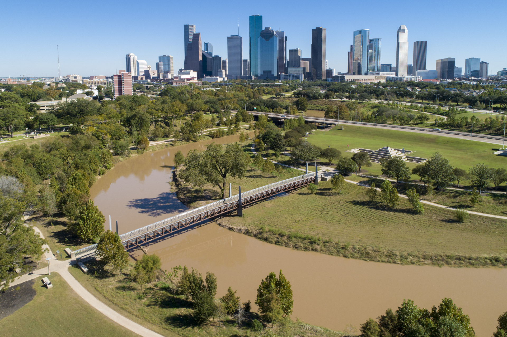
Buffalo Bayou and its connected storm drains have repeatedly overflowed during major rain events, contributing to downtown Houston flooding during storms such as Tropical Storm Allison (2001) and Hurricane Harvey (2017). The Allen's Landing/Buffalo Bayou corridor is a documented focal point where urban stormwater flows into the bayou and where flood-control and bayou restoration projects have been concentrated. Infrastructure upgrades and park redesigns in this corridor have been undertaken in part to improve stormwater conveyance and resilience. Flooding at the bayou has directly impacted nearby streets, parks, and properties in downtown Houston.
Tags
Art / Graffiti Man Made Wonders (Architecture & Design) Storm Drains Old Infrastructure
Location
29.761426, -95.383883
Views
1

Comments

0
Be the first to comment!
Share
S
Locory name
Location details
Link to share
Link copied to clipboard
Report Locory
Locory

Discover, share, and explore community-driven points of interest with Locory.

Follow Us

About Contact Documentation Collaboration Upcoming Privacy Policy Terms of Service Accessibility Mailing List Wiki