Locory Every place has a story.
Login Sign Up
My Account
Open Map Create a Locory My Locories Featured Regions Leaderboard About What is a Locory? Collaboration Blog Feedback
Login Sign Up
My Account
  1. Home
  2. Flores Region, Maumere
Locory page

Flores Region, Maumere

By Seeker 6mo ago
See on map
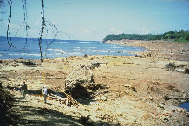
Flores Region, Maumere photo 1
On December 12, 1992, a magnitude 7.5 Ms (USGS) earthquake at 05:29 UT occurred in the Flores, Indonesia, region producing a tsunami that reached shore in five minutes. The source was a thrust fault dipping 32 degrees to the south and extending about 110 kilometers from Cape Batumanuk to Cape Bunga. The earthquake and tsunami caused at least 2,080 fatalities or missing people, including 1,490 in Maurnere, Flores, and 700 on Babi Island.
Tags
Art / Graffiti Kidnappings
Event Date
December 12, 1992
Location
-8.480000, 121.896000
Views
0

Comments

0
Be the first to comment!
Share
S
Locory name
Location details
Link to share
Link copied to clipboard
Report Locory
Locory

Discover, share, and explore community-driven points of interest with Locory.

Follow Us

About Contact Documentation Collaboration Upcoming Privacy Policy Terms of Service Accessibility Mailing List Wiki