Locory Every place has a story.
Login Sign Up
My Account
Open Map Create a Locory My Locories Featured Regions Leaderboard About What is a Locory? Collaboration Blog Feedback
Login Sign Up
My Account
  1. Home
  2. Seaport/South Boston Waterfront built on extensive tideland fill
Locory page

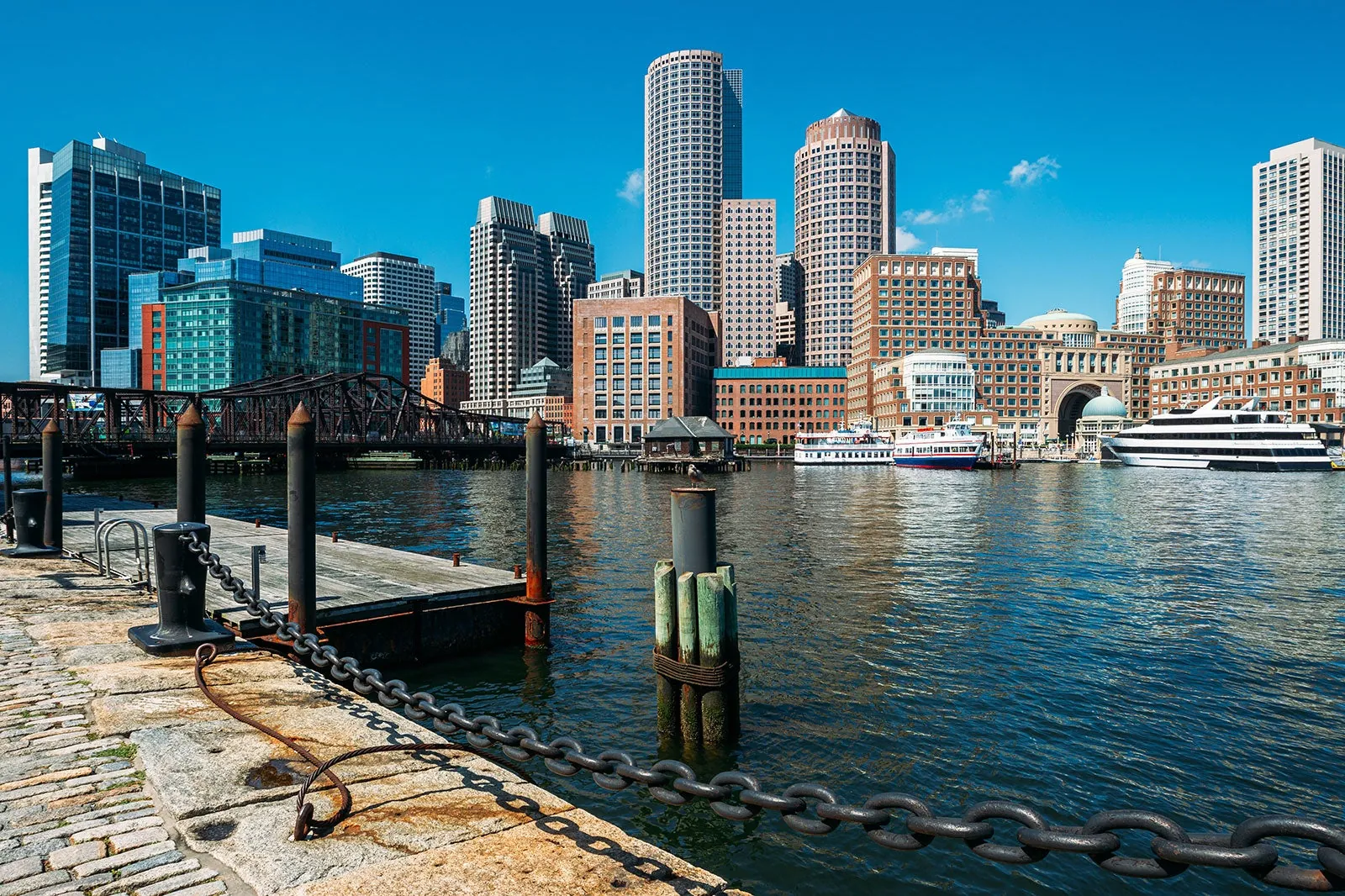
Seaport/South Boston Waterfront built on extensive tideland fill

By Seeker 6mo ago
See on map
Seaport/South Boston Waterfront built on extensive tideland fill photo 1
Seaport/South Boston Waterfront built on extensive tideland fill photo 2
Boston's Seaport District and South Boston Waterfront were formed by successive 19th- and 20th-century land reclamation projects that filled tidal flats and extended the shoreline into Boston Harbor, creating the mixed-use area now known for offices, convention space, and arts venues. The development of the Seaport involved both deliberate landfill and infill of former harbor areas, producing a large, modern waterfront built on artificially created land. Major structures in the district stand on ground that was not original natural shoreline.
Tags
Art / Graffiti Natural Wonders
Location
42.349140, -71.041520
Views
0

Comments

0
Be the first to comment!
Share
S
Locory name
Location details
Link to share
Link copied to clipboard
Report Locory
Locory

Discover, share, and explore community-driven points of interest with Locory.

Follow Us

About Contact Documentation Collaboration Upcoming Privacy Policy Terms of Service Accessibility Mailing List Wiki