Locory Every place has a story.
Login Sign Up
My Account
Open Map Create a Locory My Locories Featured Regions Leaderboard About What is a Locory? Collaboration Blog Feedback
Login Sign Up
My Account
  1. Home
  2. Mile High Marker (13th step, Colorado State Capitol)
Locory page

Mile High Marker (13th step, Colorado State Capitol)

By Seeker 6mo ago
See on map
Mile High Marker (13th step, Colorado State Capitol) photo 1
Mile High Marker (13th step, Colorado State Capitol) photo 2
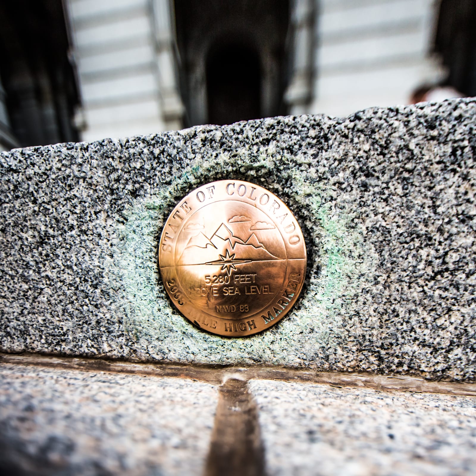
A brass marker set into the 13th step of the Colorado State Capitol indicates an elevation of 5,280 feet above sea level. The marker is the city's widely recognized "Mile High" reference and derives from official geodetic surveys of Denver's elevation. It is frequently cited and photographed as the point that symbolizes Denver's mile‑high altitude.
Tags
Maps & Surveying
Location
39.739224, -104.984838
Views
1

Comments

0
Be the first to comment!
Share
S
Locory name
Location details
Link to share
Link copied to clipboard
Report Locory
Locory

Discover, share, and explore community-driven points of interest with Locory.

Follow Us

About Contact Documentation Collaboration Upcoming Privacy Policy Terms of Service Accessibility Mailing List Wiki